Smart Navigation in 2025: The Best Map and GPS Apps for Every Journey
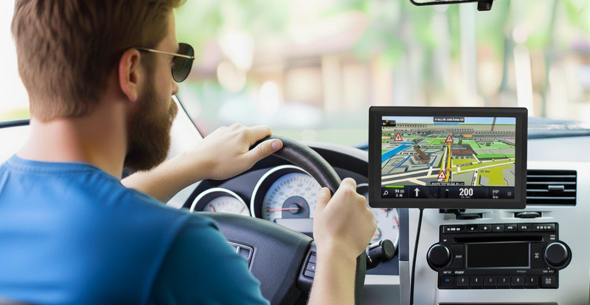
Remember the days of bulky GPS navigators mounted on the windshield, constantly losing satellite signal at the most inconvenient times? In 2025, they seem like artifacts from a distant past. Today, all the power of global navigation is concentrated in your smartphone. A modern map app is not a trivial route from point A to point B, but a smart assistant that knows about traffic jams, cameras, fuel prices, and even where to find a free parking spot.
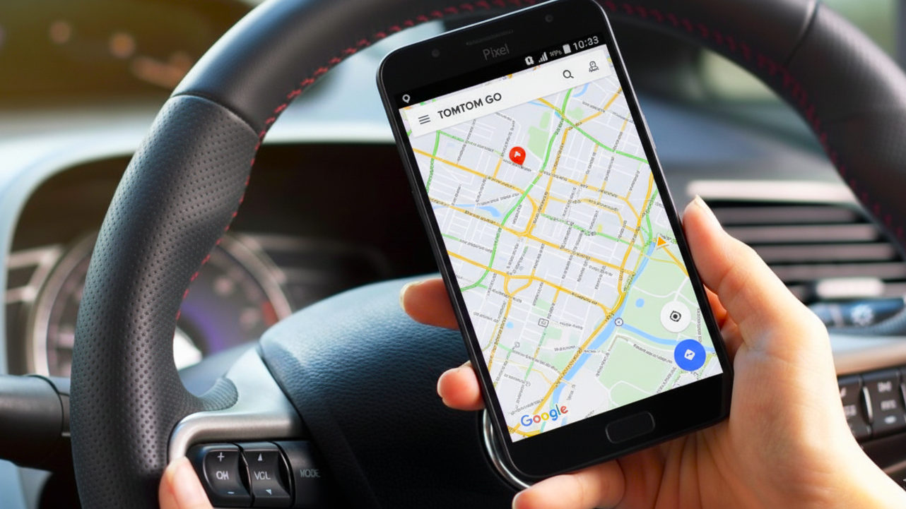
Smartphones have completely replaced dedicated navigators, and for good reason. Convenience, constant updates, and integration with other services have made navigation apps an indispensable tool for millions. Drivers, travelers, pedestrians, and cyclists – everyone finds their ideal co-pilot in them.
But which is the best navigation app to choose? Which one works best in the conditions of Cyprus, with its city traffic and mountain serpentines? This instructional article will help you navigate the variety of offers and find the one that is 100% suitable for your tasks.
The Evolution of Navigation Apps
Just a decade ago, navigation apps were little more than digital maps — they showed you the road and suggested the shortest route. That was it. Today, they’ve evolved into intelligent assistants powered by artificial intelligence, capable of predicting traffic conditions, adapting to your driving style, and even suggesting the best gas station along the way.
Modern navigation no longer just shows the way — it analyzes it. Machine learning algorithms process millions of data points in real time: traffic density, weather conditions, road closures, accidents, and even public transport schedules. The result? Personalized routes that save both time and fuel.
Voice Control and Smart Ecosystem Integration
One of the biggest leaps forward has been the rise of hands-free voice control. Integration with assistants like Google Assistant, Siri, and Alexa lets drivers manage navigation entirely by voice — set destinations, change routes, or check arrival times — all without taking their hands off the wheel. It’s not just convenient, it’s safer.
Many navigation apps have also become part of larger digital ecosystems. They can sync with your calendar to remind you when to leave for a meeting, or automatically detect addresses from emails and messages. Your car, phone, and smartwatch now work together as one intelligent system.
Augmented Reality Comes to the Road
Perhaps the most exciting innovation is the arrival of augmented reality navigation. Apps like Google Maps and Apple Maps now overlay virtual arrows and directions directly onto the live camera feed, blending digital guidance with the real world.
Imagine stepping out of a subway station in an unfamiliar city, opening your AR mode, and seeing an arrow on your screen literally showing you which way to turn. It’s not just cool — it makes orientation in new places effortless and intuitive.
Online and Offline: True Freedom on the Road
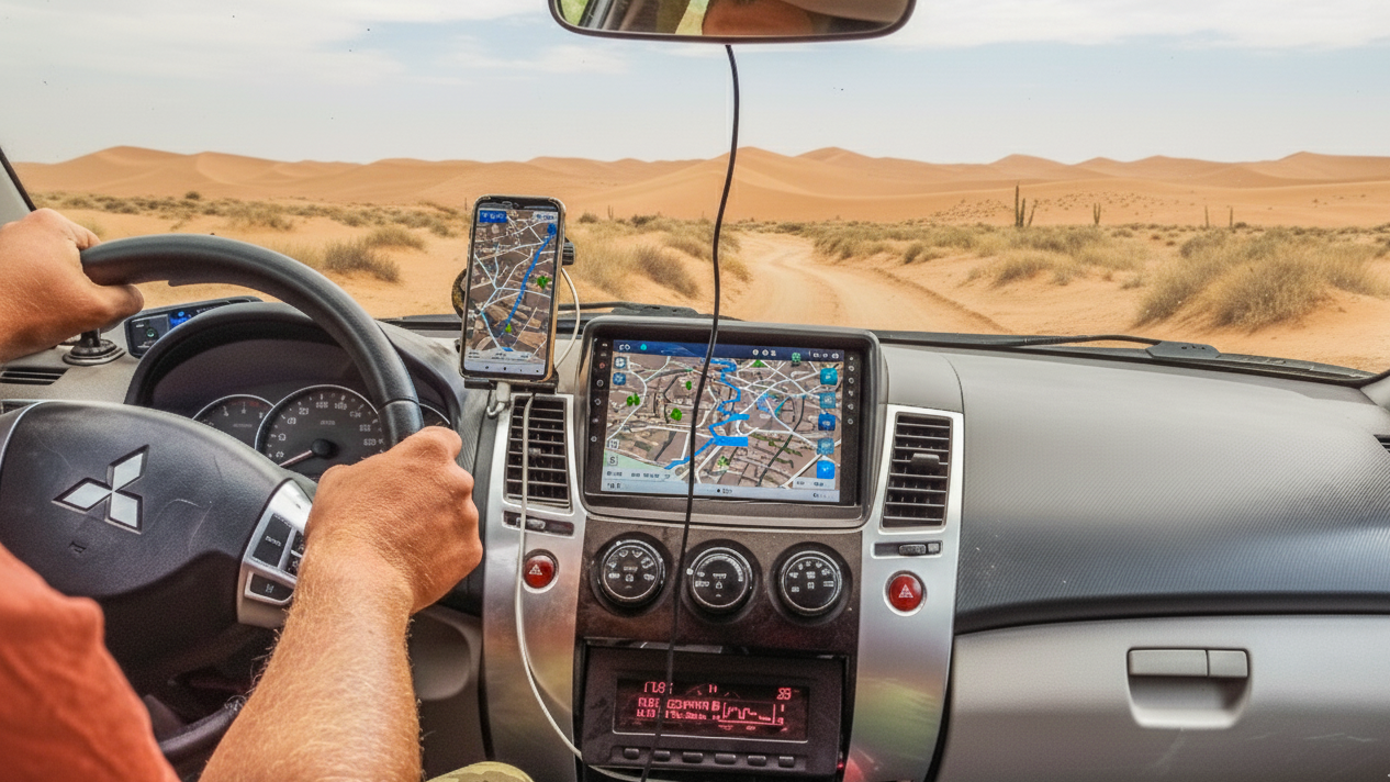
There was a time when navigation apps were useless without an internet connection. Lose signal — lose your map. But that’s no longer the case. Leading apps such as Google Maps, Maps.me, Here WeGo, and Sygic now allow users to download full offline maps of countries and regions, complete with routes, points of interest, and even voice guidance.
This feature has become indispensable for travelers and drivers venturing into remote areas or abroad, where mobile coverage can be patchy.
Pro Tip: Before heading on a trip, download offline maps in advance. Modern apps automatically update your data when you reconnect to the internet — so you’ll never be stranded without directions, even in the mountains, desert, or a foreign city.
The evolution of navigation apps perfectly illustrates how technology has moved beyond simply showing the way. Today’s navigation tools have become intelligent travel companions — predicting, adapting, and guiding — making every journey smoother, safer, and smarter than ever before.
Categories of the Best Navigation Apps
Stop looking for a single universal app that will solve all your problems. It doesn't exist. The best map app is a highly specialized tool, tailored to a specific scenario. An app designed to save you minutes in morning traffic jams will be useless on a mountain trail without network access. And a navigator that perfectly guides a tourist through an unfamiliar city offline will not be able to provide the most current bus arrival time.
The smart approach is different: identify your main navigation task and choose the leader in that specific niche. We have divided map apps into four main groups. Each group solves its own set of problems and is aimed at a specific user with their unique needs.
- For Motorists. The most important thing here is up-to-date information about the road situation. Apps for drivers focus on optimizing routes considering traffic jams, warning about speed cameras, showing fuel prices at nearby gas stations, and helping to find parking.
- For Travelers and Tourists. For them, offline maps that work without an internet connection come to the forefront. Also important are functions for finding attractions, hotels, restaurants, and integration with travel guides.
- For Pedestrians and Cyclists. Such apps can create short routes through parks and courtyards, show bike lanes, and take into account the terrain.
- For Public Transport. The leaders in this category know the schedules of all buses, trams, and subways, show their movement in real time, and help build complex routes with transfers.
Key Features That Make an App the Best
Feature | What It Provides | Leaders in Implementation |
Real-time Traffic Data | Time savings, avoiding traffic jams | Google Maps, Waze |
High-Quality Offline Maps | Independence from the internet, roaming savings | Here WeGo, Maps.me |
Voice Navigation | Safety, no need to look at the screen | All major apps |
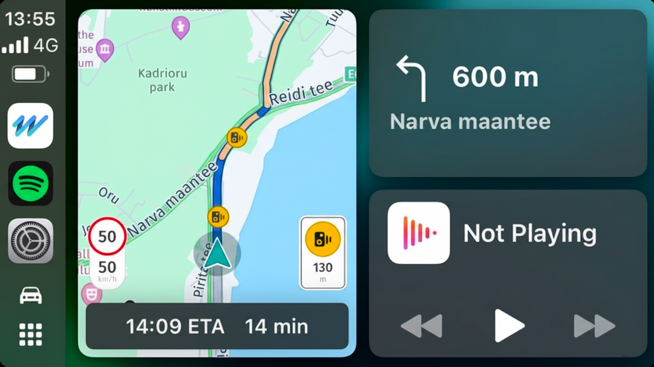
CarPlay/Android Auto Integration | Convenience of use on the car's large screen | Google Maps, Waze, Apple Maps |
Extra Features (AR, POI) | Enhanced user experience, useful information | Google Maps, Maps.me |
Expert's Choice: The Best Navigation Apps of 2025
The market for navigation apps is huge, and each one promises to be the best. To separate the real leaders from marketing claims, we analyzed dozens of apps based on key parameters: map accuracy, traffic data update speed, interface convenience, and the presence of unique features. As a result, we have formed a shortlist of six apps. This is more of a team of specialists, where each is strong in its own area. One app is indispensable for daily city trips, another will save you in the mountains where there is no internet, and a third will guide you through a complex public transport system.
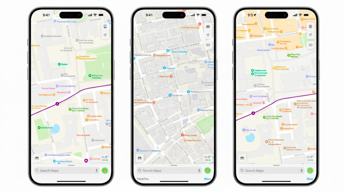
Google Maps – The All-Rounder
This is the best map app for most users. It offers the highest accuracy, up-to-date traffic information, public transport integration, and the unique Street View feature. Its database of points of interest (POI) is the most comprehensive in the world.
Waze – The Power of Community
The main trump card of Waze maps is its users. Drivers report accidents, cameras, road hazards, and even petrol prices in real time. This makes Waze the most current source of road information.
Apple Maps – The Choice for iOS Users
Apple Maps are perfectly integrated into the Apple ecosystem. They are distinguished by a beautiful and smooth interface, excellent integration with Siri and the Apple Watch, and a high level of privacy.
Here WeGo – The Offline King
If you need reliable GPS maps that work without the internet, Here WeGo is one of the best options. The app allows you to download maps of entire countries for free and offers excellent navigation for public transport.
Maps.me / OsmAnd – For Travelers
Both apps use open-source OpenStreetMap (OSM) maps, which are often more detailed than commercial ones, especially regarding hiking trails and country roads. Maps.Me is an ideal choice for those who love to explore the world on foot.
Citymapper – The Public Transport Guru
If you travel around a metropolis by public transport, Citymapper is a good gps app for you. It knows everything about schedules, transfers, fares, and even which subway car to board to be closer to the exit.
Navigation Apps: A Comparison
App | Strengths | Weaknesses | Best For |
Google Maps | Versatility, Street View, POI | Resource-intensive, collects data | A bit of everything, daily commutes |
Waze | Real-time community road data | Cluttered interface, weaker for pedestrians | Daily car commutes in the city |
Apple Maps | iOS integration, beautiful interface | Apple-only, less data | iPhone owners |
Here WeGo | Best offline maps, public transport | Less accurate traffic data | Traveling abroad, weak internet |
Maps.me | Detailed offline maps for pedestrians | Basic functionality for drivers | Hiking, city exploration |
Citymapper | Best public transport navigation | Works only in major cities | Residents of metropolises |
How to Choose the Best App for Yourself
Choosing the right navigation app is like picking the perfect travel companion — some are great for your daily commute, others help you explore hidden gems off the beaten path. It all depends on how and where you drive.
For Everyday City Driving
If you drive around the city every day, you need an app that reacts fast to changing traffic conditions and helps you avoid delays.
- Google Maps is the gold standard — reliable, accurate, and always up to date. It offers real-time traffic updates, alternate routes, and the most precise arrival estimates.
- Waze is ideal if you want to know about every pothole, police checkpoint, or accident ahead. It’s powered by its user community, meaning you get the latest updates faster than anywhere else.
Tip: Use both apps together. Google Maps for route planning, Waze for real-time driving insights.
For Island Adventures and Offline Travel
On an island like Cyprus, internet coverage isn’t always perfect — especially if you’re heading into the mountains or exploring rural areas. That’s where offline navigation becomes essential.
- Here WeGo lets you download entire country maps and navigate completely offline.
- Maps.me is a traveler’s favorite — detailed offline maps with landmarks, cafés, and parking spots already marked.
Tip: Download your maps in advance while connected to Wi-Fi. It saves data and ensures you won’t get lost when the signal drops.
For iPhone Users
If you’re an iPhone user, you might not need to download anything extra — Apple Maps has improved dramatically in recent years. It offers a clean design, smooth turn-by-turn navigation, speed limit alerts, and seamless Siri integration. For most drivers, that’s more than enough.
Tip: Try the Look Around feature — Apple’s answer to Google Street View — to virtually explore your destination before you hit the road.
Why Not Combine Them?
Many experienced drivers use more than one app for maximum flexibility. For example:
- Google Maps for planning long routes.
- Waze for short city commutes.
- Maps.me for trips without internet access.
That way, you’re always ready for anything — whether it’s traffic in Nicosia, a winding mountain road in Troodos, or a scenic coastal drive at sunset.
Conclusion: A Smart Choice for Comfortable Trips
In 2025, there is no single "best" navigation app. The strength is in the combination. Having 2–3 different apps on your smartphone will prepare you for any situation on the road. Navigation is no longer just about GPS maps. It is your personal digital assistant that saves time, money, and nerves. The best map app is the one that solves your specific tasks.
Study our recommendations, try a few options, and create your own set of navigation tools, including the ability to create my maps with your favorite places. Discover the world, whether through Google Maps Street View or the detailed trails in Maps.me.
